Baton Rouge, Louisiana
Project Overview
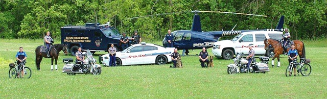
The Baton Rouge SPI is testing the utilization of a risk terrain model (RTM) as a mechanism for reducing risk and decreasing violent crime in Baton Rouge. RTM is an algorithm which uses previous crime data and geospatial risk factors to determine specific areas with higher likelihoods for violent crime. The elevated risk grids, roughly the size of a city block, will be used to guide targeted police actions by a project specific task force. Social Media Analysts will also be used to leverage the power and influence of social media to engage the community in ways that will enhance community relations with law enforcement and support the effort to reduce violent crime, such as providing real time updates for crimes incidents, and eliciting actionable intelligence for open cases.
Methods and Findings
- From 2016 to 2017, homicides rose from 61 per year to a record high of 104.
- Homicides decreased 21% in 2018, but are still much higher than national averages.
- Robbery is the only violent crime indictor that has shown a consistent decrease since 2012.